Hasius and Biblical Cartography: The Kingdoms of David and Solomon (1739)
A monumental work from Officina Homanniana featuring six hand-coloured geographical maps and fourteen plates devoted to the historical geography of the Holy Land
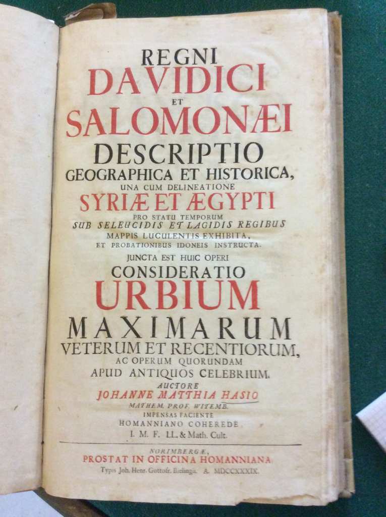
Within the landscape of eighteenth-century biblical cartography, few works achieve the comprehensiveness and ambition of Johann Matthias Hasius's Regni Davidici et Salomonaei Descriptio Geographica et Historica, published in Nuremberg in 1739. This folio work, produced by the celebrated Officina Homanniana, represents a pivotal moment in the evolution of historical geography applied to biblical studies, combining mathematical rigour with antiquarian sensibility in a cartographic corpus of extraordinary richness.
Bibliographic notes
Johann Matthias Hasius (1684-1742), professor of mathematics at the University of Wittenberg, was a prominent figure in the German Lutheran academic milieu. His mathematical training combined with a profound interest in historical geography, culminating in this systematic description of the kingdoms of David and Solomon. The work, structured in two parts bound in a single volume, is distinguished by its methodical approach: the first part examines the territorial extent and administrative organisation of the two kingdoms, whilst the second explores the geopolitical dynamics of the Syro-Egyptian region under the Hellenistic dynasties of the Seleucids and Ptolemies.
The iconographic apparatus constitutes the true bibliographic treasure of the work. Six large geographical maps, folded several times with contemporary hand-colouring, offer a detailed representation of ancient Palestine, Syria and Ptolemaic Egypt. To these are added fourteen plates depicting specific aspects of biblical topography, antiquities and trade routes. The title page, printed in red and black according to the typographic tradition of Officina Homanniana, testifies to the editorial attention devoted to this prestigious publication.
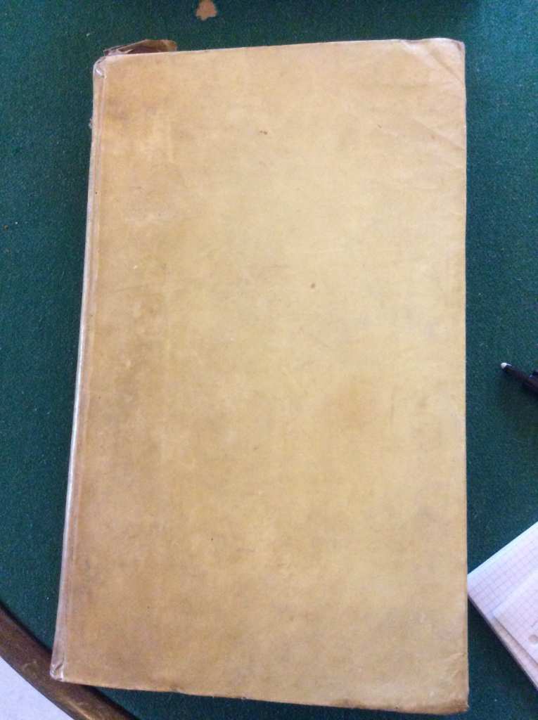
Provenance and condition
The copy presents a contemporary binding in rigid vellum, a typical solution for consultation volumes destined for institutional or significant private libraries. The vellum displays a normal patina of use, evidence of a history of respectful yet regular consultation. A small loss at the upper corner of the front board represents the only structural defect of note, compromising neither the functionality nor the overall integrity of the volume.
The geographical maps retain their original colouring, an element of particular importance for valuation: the contemporary hand-colouring, probably executed in the Homann workshop itself, confers upon the maps not only aesthetic value but also documentary significance, testifying to the editorial practices of the period. The absence of significant foxing or moisture stains on the folded plates – always vulnerable to deterioration – indicates careful preservation over the centuries.
Market value
BookOracle's valuation places this work in the €2,100-€3,300 range, reflecting several market factors. The rarity score of 62/100 ('Discrete' index) indicates a limited but not exceptional presence in the antiquarian market. Consultations with AbeBooks, Antiquariat Kiefer, Reiss & Sohn and Zisska & Schauer confirm that complete copies of Hasius's work appear sporadically, with intervals of several years between offerings.
The segment of eighteenth-century German biblical cartography enjoys a stable market, supported by three categories of collectors: specialists in the Holy Land and historical geography, devotees of Homann production (the publishing house that dominated German cartography of the period), and historians of science who appreciate Hasius's mathematical approach. The presence of contemporary colouring constitutes a significant element of valorisation, potentially increasing the price by 30-40% compared with uncoloured examples.
Recent comparables suggest that analogous works from the same period and provenance, in similar condition, consistently fall within this price range. The completeness of the iconographic apparatus – all six folded sheets and fourteen plates present – is an indispensable condition for achieving the maximum valuation.
Why it matters
Hasius's work represents a moment of transition in biblical cartography, positioned between the Renaissance humanistic approach and Enlightenment scientific rigour. The choice to include not only Davidic-Solomonic geography but also analysis of the Hellenistic kingdoms reveals a broader historiographical ambition: to understand the Holy Land as a crossroads of civilisations, not merely as a biblical setting.
For contemporary collectors, this work offers multiple levels of interest. From a bibliographic perspective, it testifies to the productive excellence of Officina Homanniana at its zenith. From a cartographic standpoint, it documents the state of geographical knowledge about ancient Palestine before the great nineteenth-century scientific explorations. From the perspective of the history of science, it illustrates how eighteenth-century mathematics was applied to historical reconstruction.
In a market increasingly attentive to provenance and completeness, intact copies such as this, with contemporary binding and original colouring, represent acquisitions of growing value. Interest in historical cartography of the Near East, also fuelled by museum and academic institutions, guarantees works of this calibre consistent demand and long-term appreciation.
Comments
Loading…
Sign in or register to leave a comment
Sign in or register